Two Harbors is 20 miles northeast of the city of Duluth. It is along Lake Superior, which contributes the two natural harbors for which Two Harbors is named, Burlington Bay and Agate Bay. The warmest month in the year is July, the coldest January. The record high temperature was 99°F (37°C) in 1948, the record low −36°F (−38°C) in 1996. According to the Minnesota Department of Natural Resources (DNR), Two Harbors is in a region called the Laurentian Mixed Forest Province, which contains broad areas of coniferous forest, mixed hardwood, and conifer bogs and swamps. The region averages 21 to 32 inches (810mm) of precipitation per year and has an average temperature of 34 to 40°F (4°C).
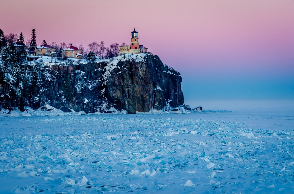
Two Harbors is the gateway city to the Northern Shore of Minnesota. Highway 61 is the only major highway heading north/north-east along the shore of Lake Superior and is the fastest way to travel to the eight state parks of the North Shore, as well as Wayside rests and Lake-shore access. These include Gooseberry Falls, Split Rock Lighthouse, Tettegouche, George H. Crosby Manitou State Park, Temperance River State Park, Cascade River State Park, Judge C.R. Magney State Park, and Grand Portage State Park.
For Additional Information click below:
https://en.wikipedia.org/wiki/Two_Harbors,_Minnesota
Sorry we are experiencing system issues. Please try again.